Home > Europe > United Kingdom > England > Oxfordshire > Cholsey
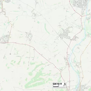
South Oxfordshire OX10 9 Map

![]()
Wall Art and Photo Gifts from Map Marketing
South Oxfordshire OX10 9 Map
Postcode Sector Map of South Oxfordshire OX10 9
Media ID 19977323
Aston Close Barley Close Bartlett Close Beehive Close Brookfield Close Brookside Charles Road Church Road College Close Cow Lane Crescent Way Cross Road Downside East End Fairfield Ferry Lane Glebe Close Halfpenny Lane Hanover Court Heritage Close Honey Lane Hurst Close Kennedy Crescent Larkfield Little Lane Meadow Close North Road Orchard Close Paddock Road Pound Lane Queens Road Reading Road Rotherfield Road Rowland Road Sandy Lane Slade Road South Oxfordshire Station Road The Sidings The Street Trenchard Close Tudor Close Underhill Villa Close Wallingford Road Waterloo Close West End Westfield Road Whitley Road Willow Close Windsor Drive Wallingford Woodward
FEATURES IN THESE COLLECTIONS
> Animals
> Mammals
> Muridae
> Fortior
> Arts
> Artists
> F
> Charles Fraser
> Arts
> Artists
> S
> Charles Smith
> Europe
> United Kingdom
> England
> Oxfordshire
> Aston
> Europe
> United Kingdom
> England
> Oxfordshire
> Cholsey
> Europe
> United Kingdom
> England
> Oxfordshire
> Moulsford
> Europe
> United Kingdom
> England
> Oxfordshire
> Related Images
> Europe
> United Kingdom
> England
> Oxfordshire
> Wallingford
> Map Marketing
> Postcode Sector Maps
> OX - Oxford
> Maps and Charts
> Related Images
> Popular Themes
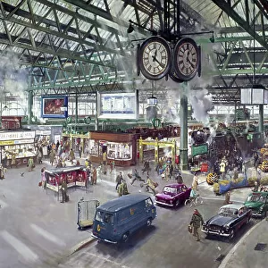
> Waterloo Station
MADE IN THE USA
Safe Shipping with 30 Day Money Back Guarantee
FREE PERSONALISATION*
We are proud to offer a range of customisation features including Personalised Captions, Color Filters and Picture Zoom Tools
SECURE PAYMENTS
We happily accept a wide range of payment options so you can pay for the things you need in the way that is most convenient for you
* Options may vary by product and licensing agreement. Zoomed Pictures can be adjusted in the Cart.